Tales of the Avon Loop
a website by Christchurch Archaeology Project
the archaeology and history of a working class neighbourhood in the heart of Ōtautahi Christchurch

defined by the river

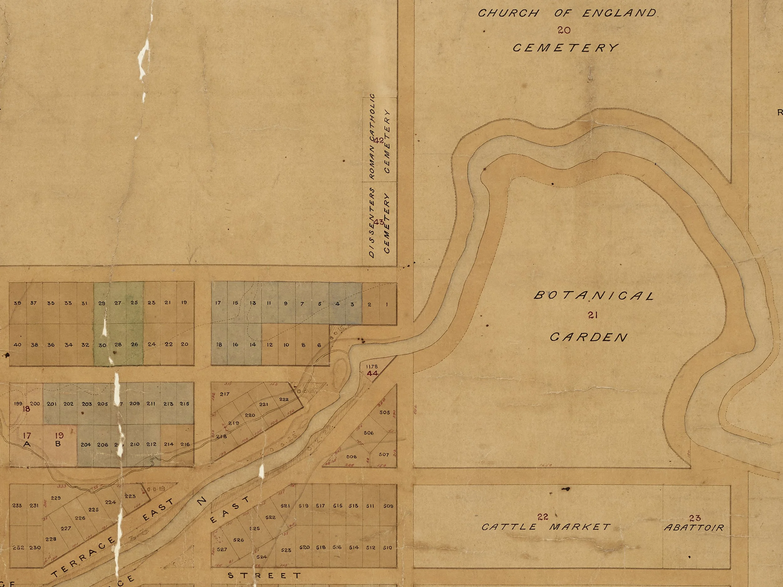
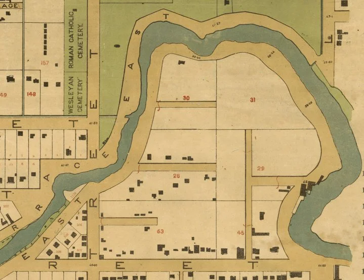
The Avon Loop snuggles neatly into a loop in the Ōtākaro Avon River, once an awa through the wetlands for Waitaha, Ngāti Māmoe and Ngāi Tahu, and an important mahinga kai.


its own little corner of the city
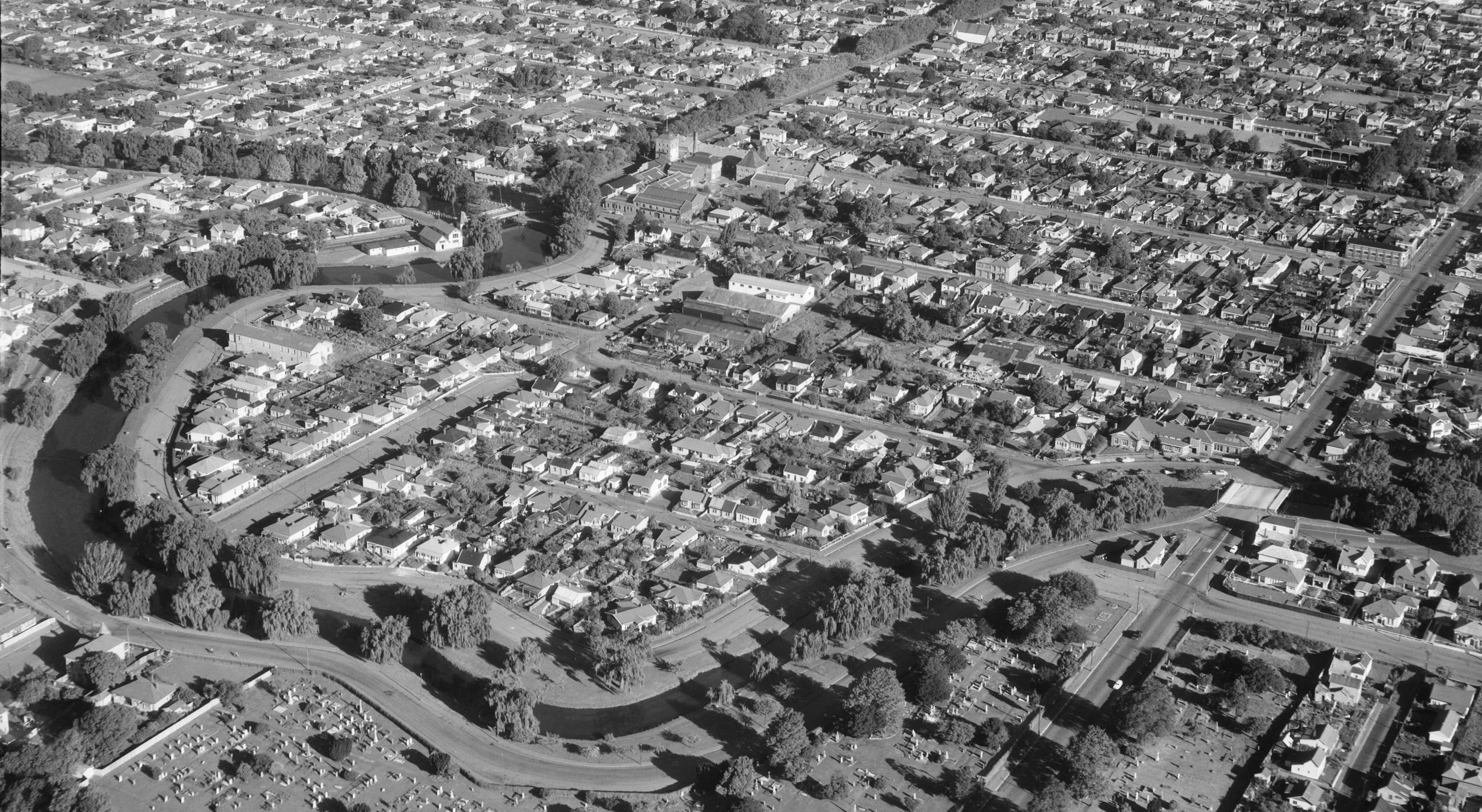
Cut off from the city by Barbadoes and Kilmore streets, the loop became home to people from all over the world.
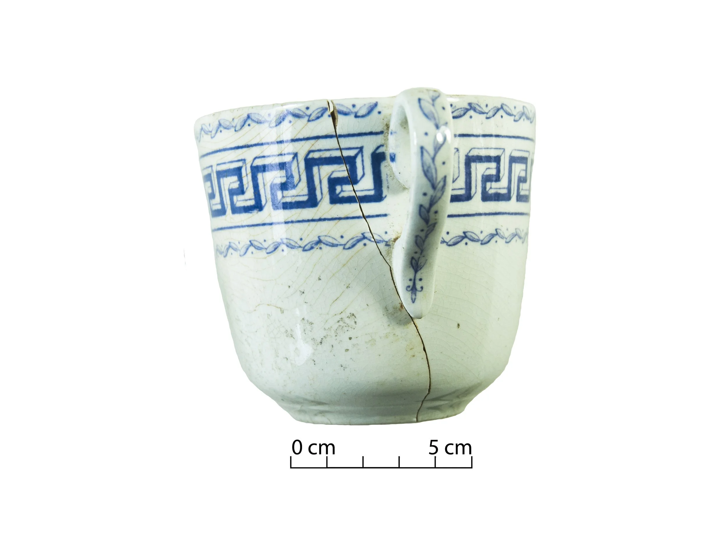
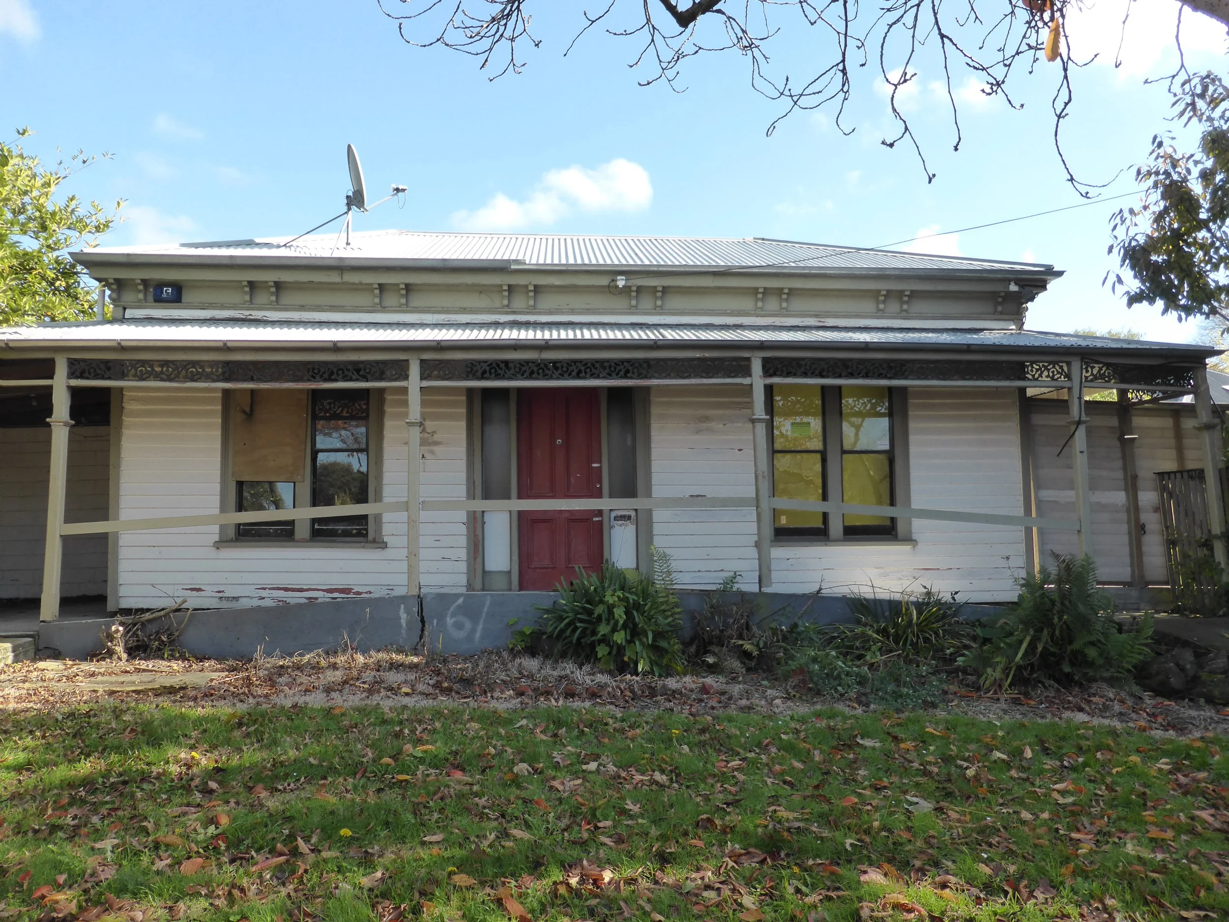
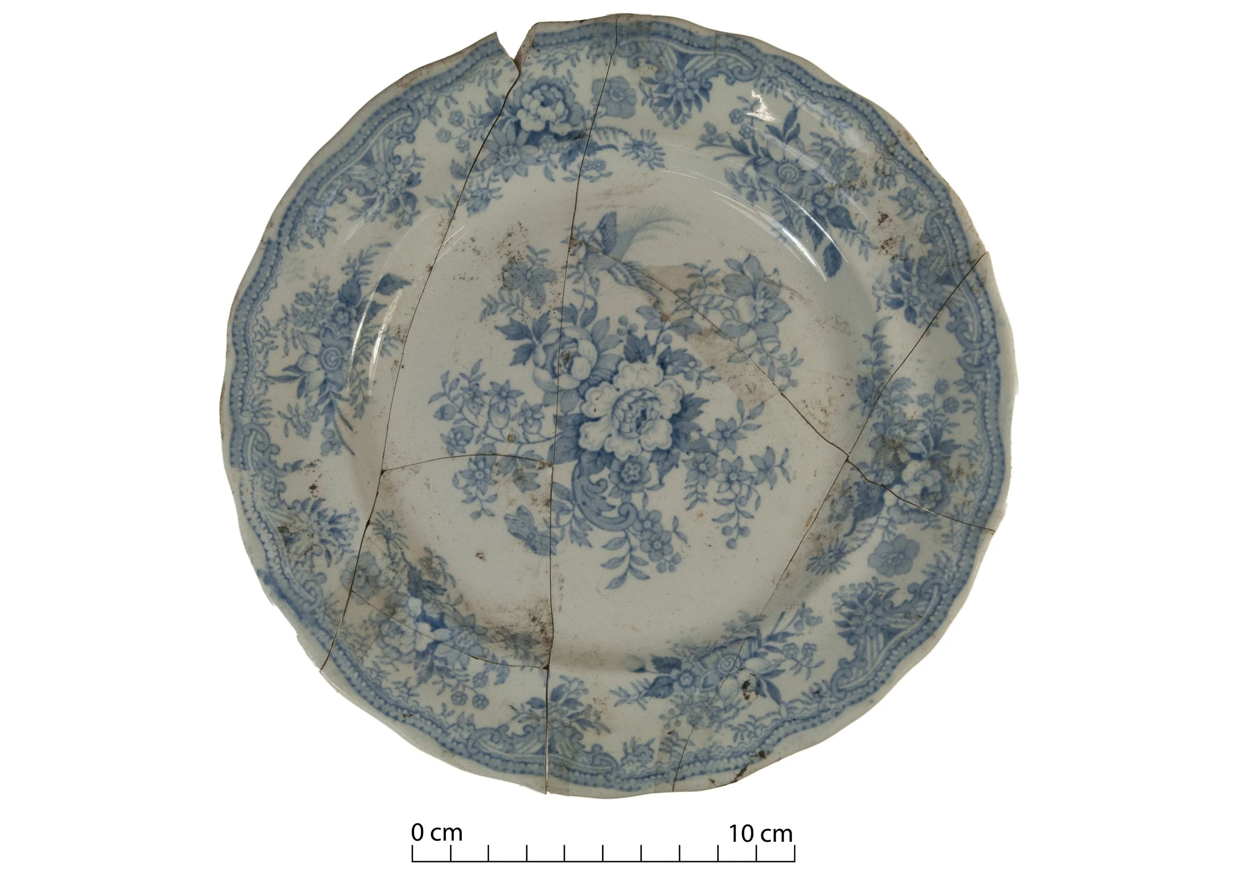
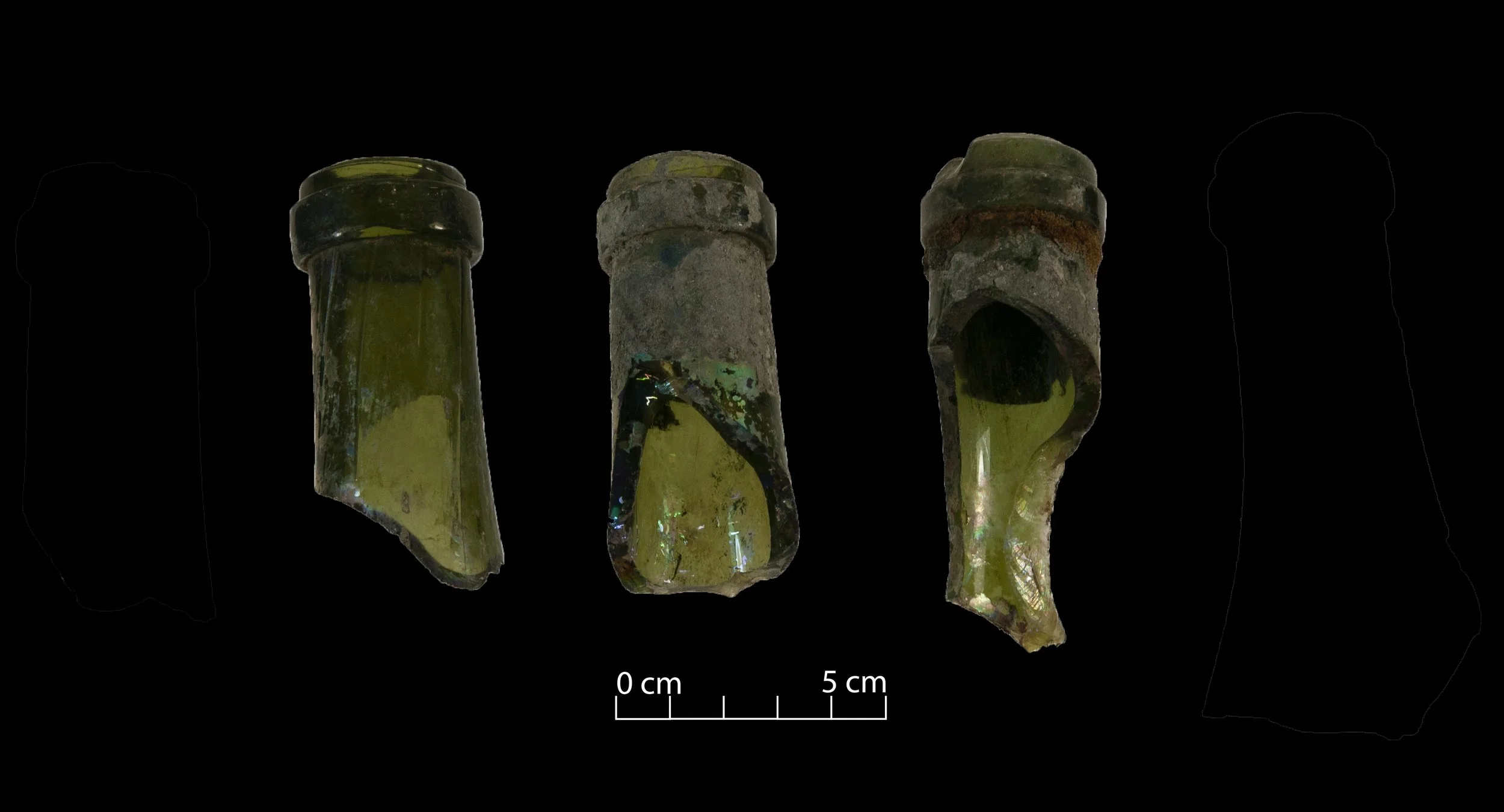
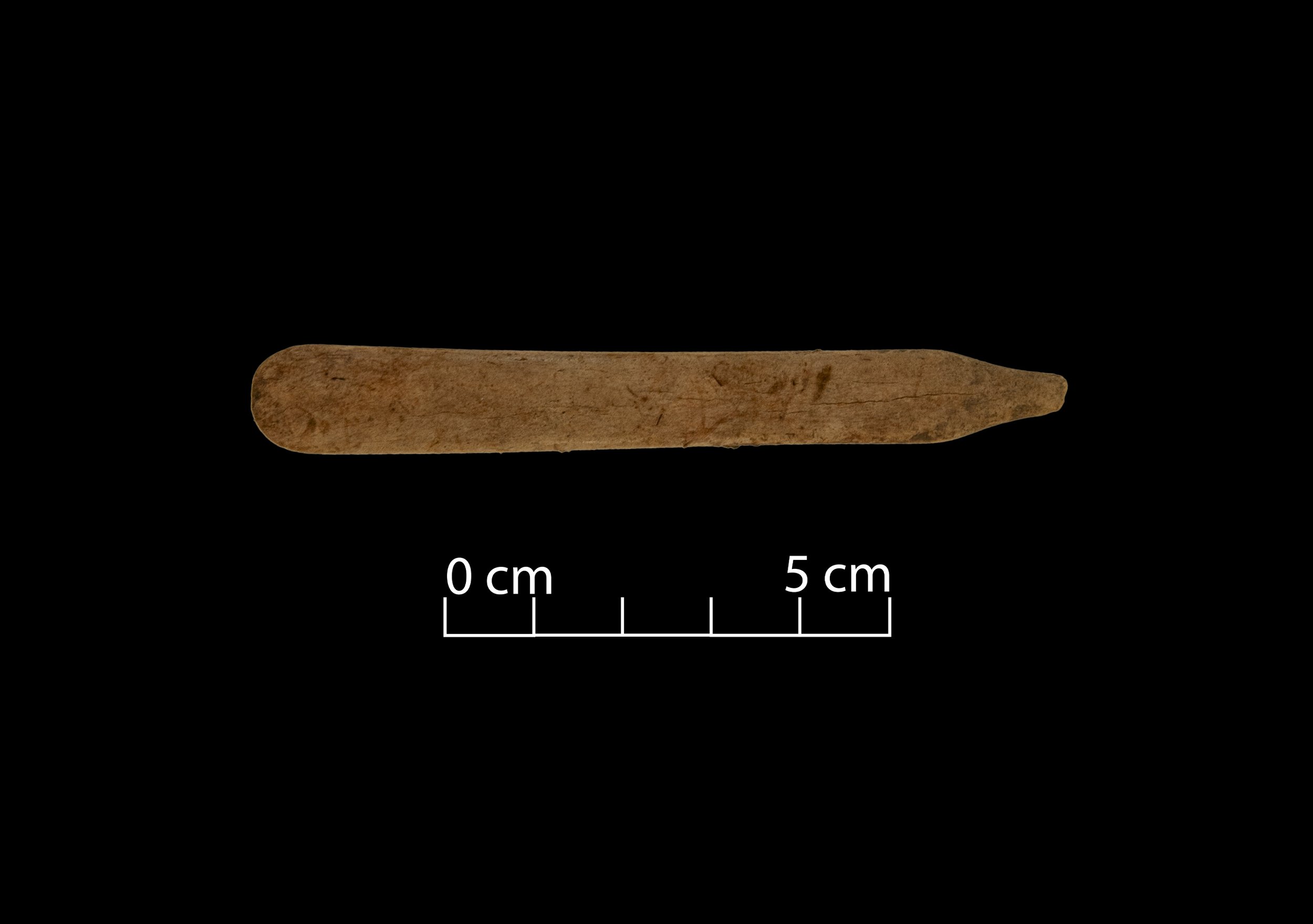
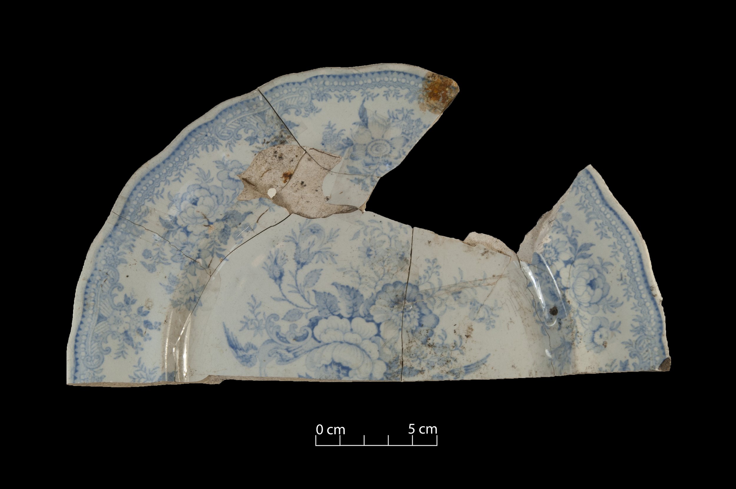
The men and women of the loop built houses there, started businesses, raised families. Mostly they lived quiet lives, never thinking that one day archaeologists would investigate their houses and their rubbish. Nor that their stories would become the subject of a website.

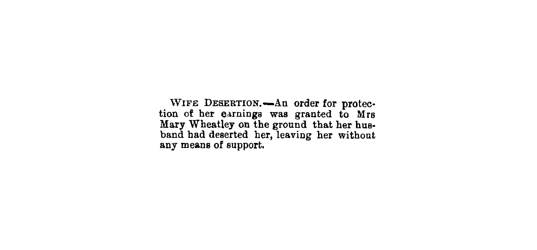
stories of everyday people