Waitaha, Ngāti Māmoe, Ngāi Tahu

Waitaha, Ngāti Māmoe and Ngāi Tahu have a long association with the area we know as Christchurch.
The Ōtākaro (Avon River) was part of a network of ara (trails) that wove through the area, connecting pā, kāinga nohoanga (settlements) and kāinga mahinga kai (food-gathering places). These ara connected people, places, food and other resources across Te Wai Pounamu.
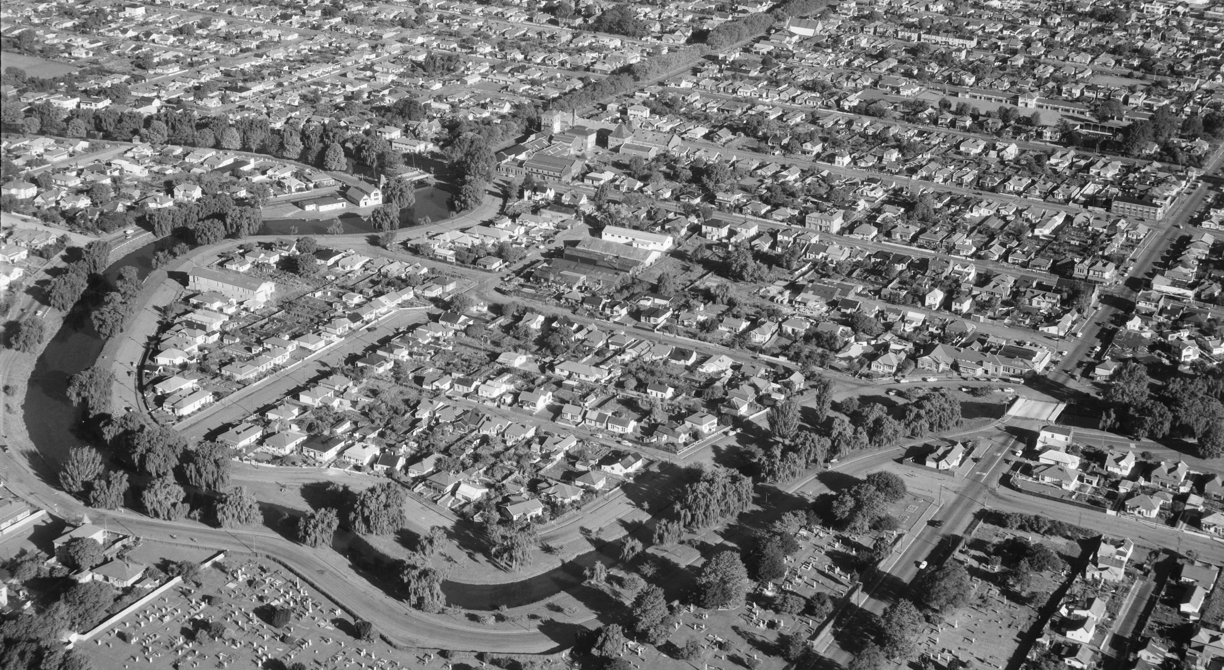
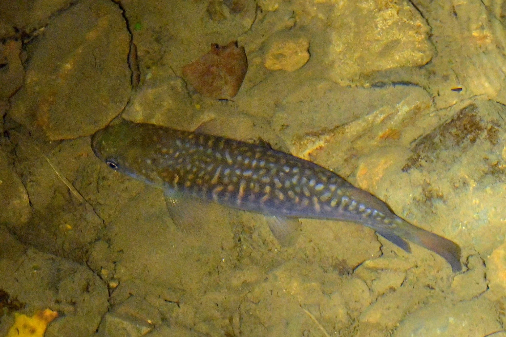
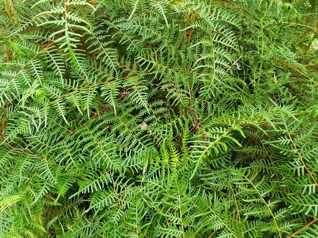
Tautahi, the son of Huikai, established Ōtautahi on the banks of the Ōtākaro, on the western edge of the Avon loop. It was a kāinga nohoanga and kāinga mahinga kai. Here, fish such as kōkopu (native trout), koukoupara (giant kōkopu), inaka (whitebait), mata (juvenile whitebait) and tuna (eels) were caught. So too were water fowl, such as pārera (grey duck), pāteke (brown teal), pūtakitaki (paradise duck), raipo (New Zealand scaup) and tataa (brown duck). Plants were also harvested, including aruhe (bracken fern root) and pora (turnip).

The Canterbury purchase
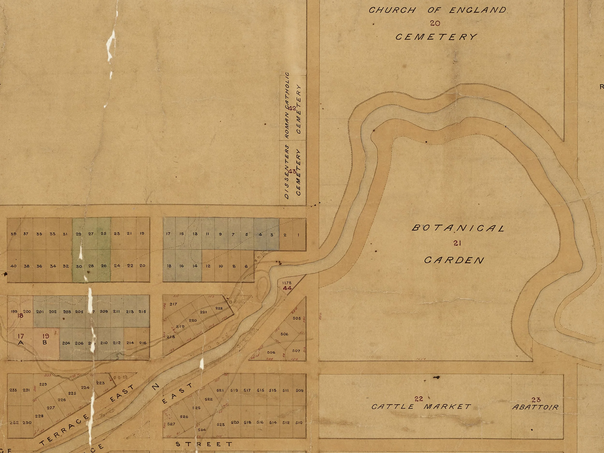
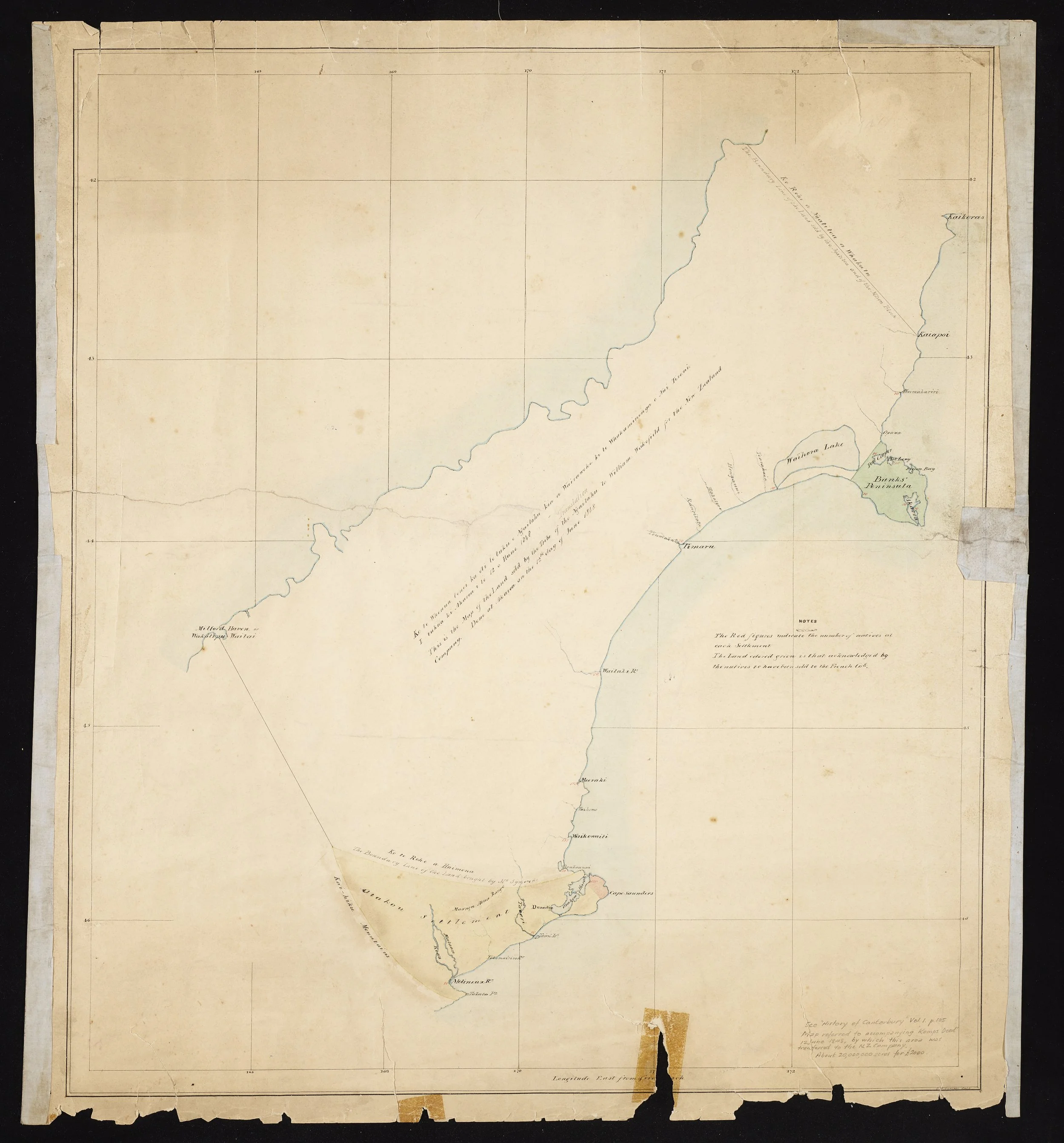
In 1848 Ngāi Tahu sold 20 million acres to the Crown through the Canterbury Purchase (map shown). Under the terms of this sale, mahinga kai such as Ōtautahi were supposed to be set aside as reserves for Ngāi Tahu. But this did not happen.
Twenty years later, Ngāi Tahu contested this failure in the Native Land Court. They sought to have many mahinga kai returned to them, including Ōtautahi. Chief Justice Fenton, however, defined mahinga kai as having “fixed structures”. This definition excluded hunting and gathering areas. As such, and because the land had been alienated, Ōtautahi was not returned to Ngāi Tūāhuriri.