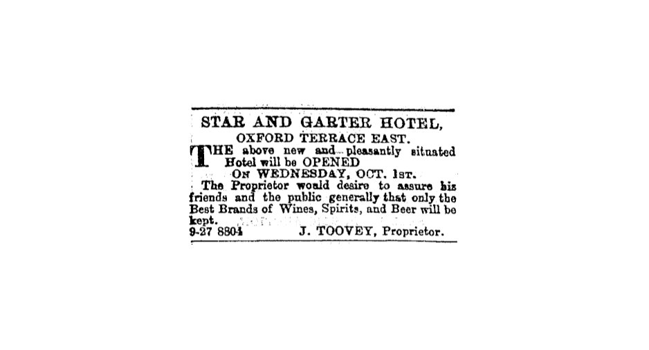
roads to nowhere
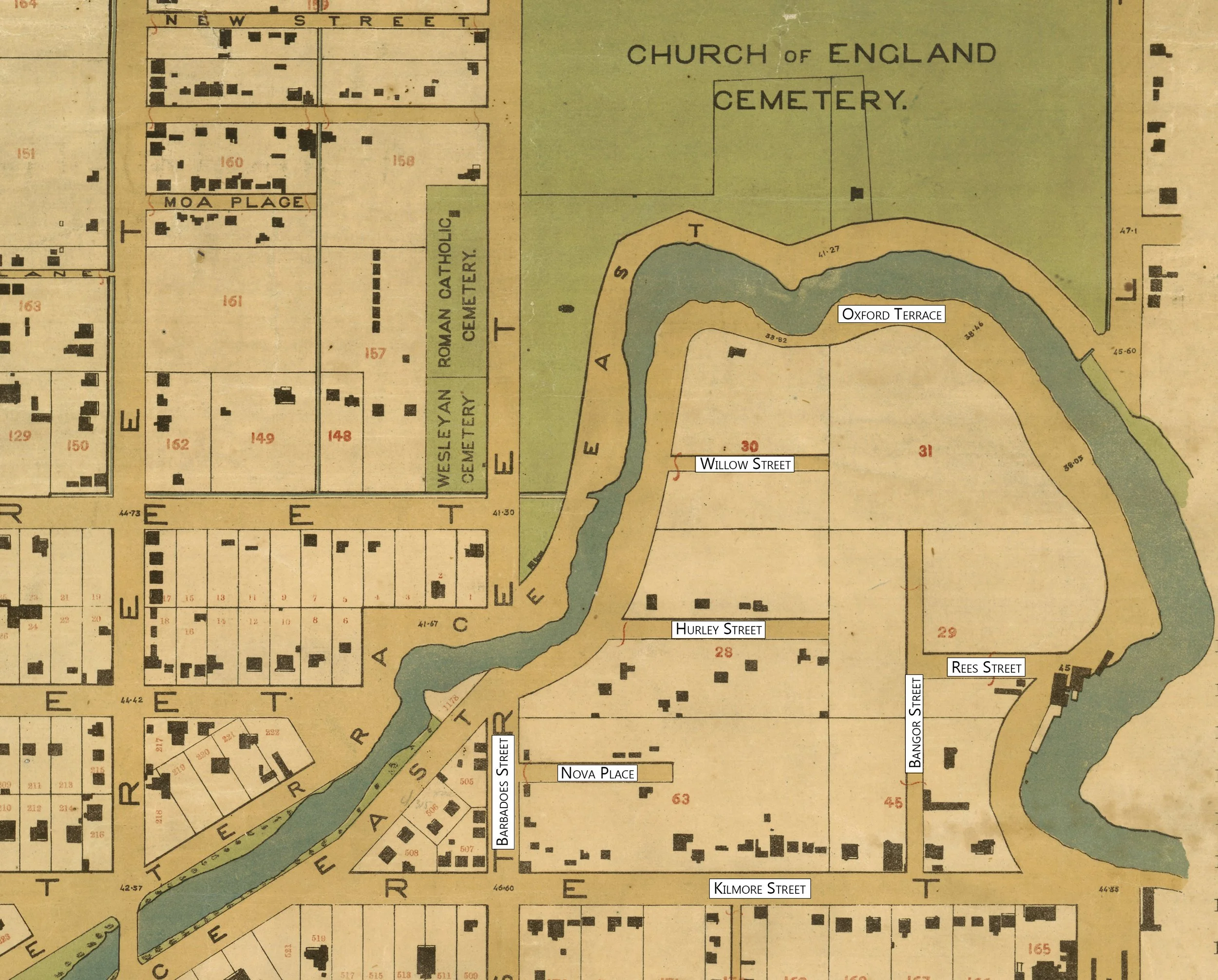
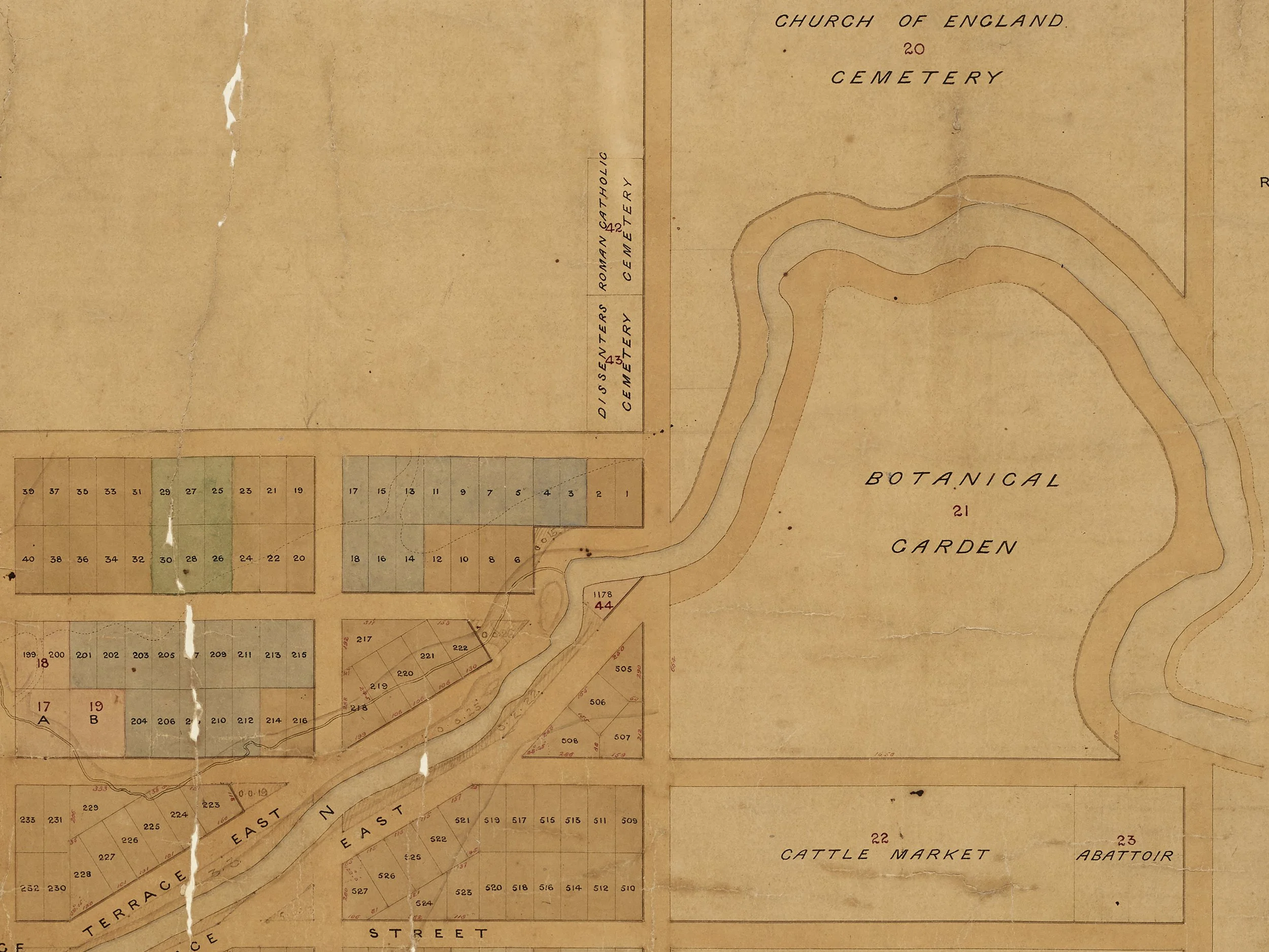
By 1877, the number of houses had increased dramatically. And there were roads.
But the map is selling a false promise: the roads had been surveyed, but not formed, as residents' petitions to the council in the 1870s attest. Nor were the roads surveyed to their final extent. Most were dead-ends, as some would remain - and as some have become again today.
Appropriately, these dead-end roads-to-nowhere had names that have disappeared: Queen Street became Union Street became Bangor Street, Avon Street became Hurley Street, York Street became Nova Place, and Oxford Terrace has become a footpath.
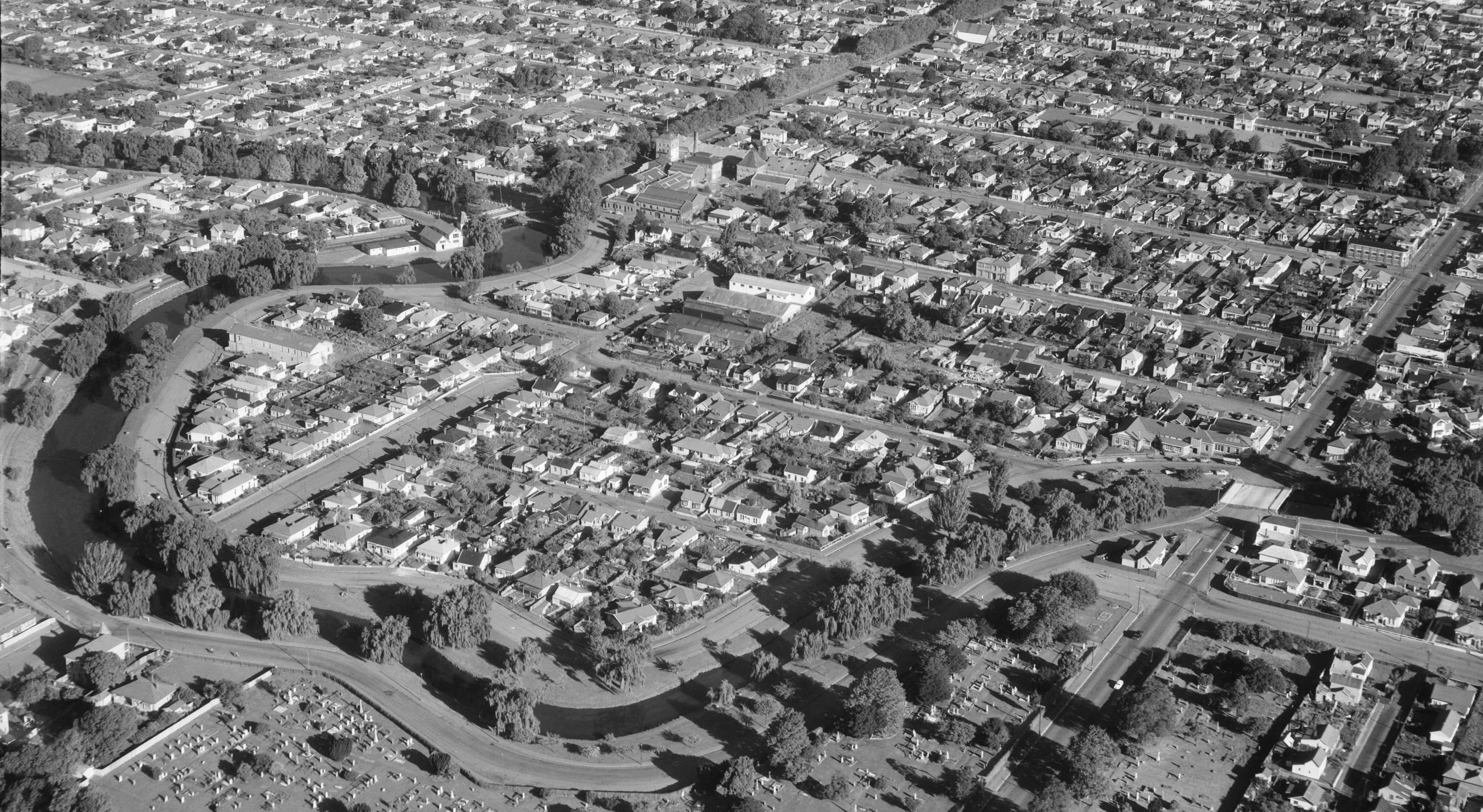
In the 20th century, the loop’s roads became places to dump the city's waste. There is archaeological evidence of brick debris from a fire in the city being used as a road surface on Hurley Street in 1908, and waste from the city destructor was used to build up Oxford Terrace.
there was also a road that never officially existed
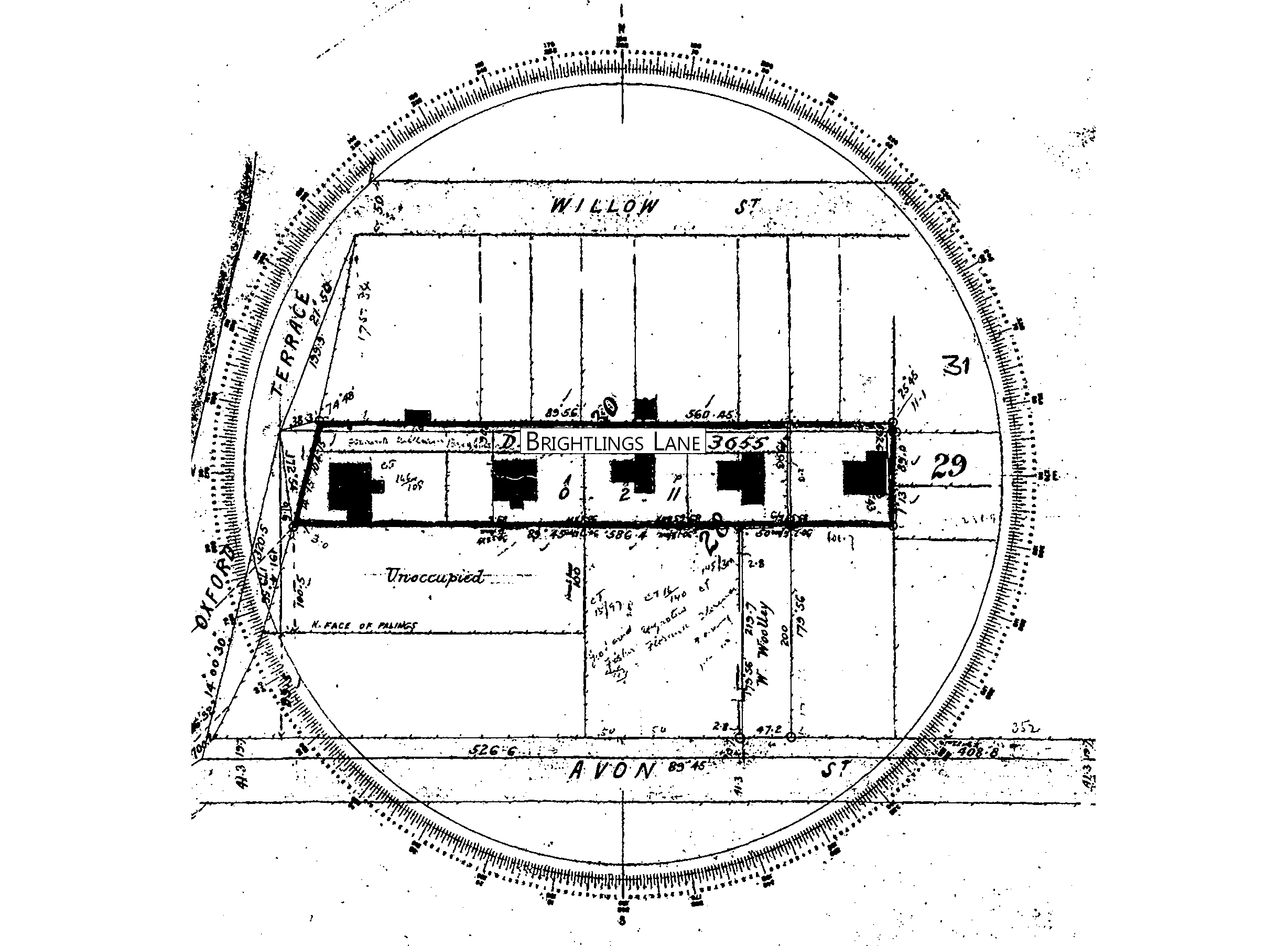
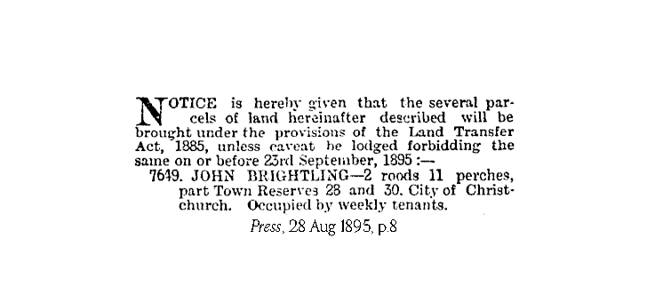
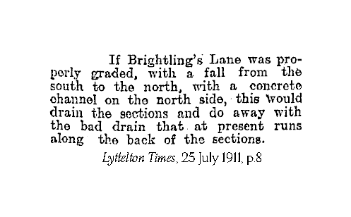
In 1878, local contractor John Brightling purchased 2 acres in the loop. By 1895, there were five houses on this land and a laneway, known as Brightling’s Lane. The cottages were tenanted weekly, suggesting they were occupied by some of the city's poorest residents. Conditions in these houses may have been grim: the Sanitary Committee required repairs to be made to four of them in 1903, and the two of the houses were demolished under orders from the Public Health Officer in 1911.
In the early 20th century, the lane was home to someone who has had a lasting presence in Christchurch: Sali Mahomet, founder of Ice Cream Charlie.