about tales of the Avon loop
This website is the result on a long-held fascination with the Avon loop, its archaeology, its history and its residents.
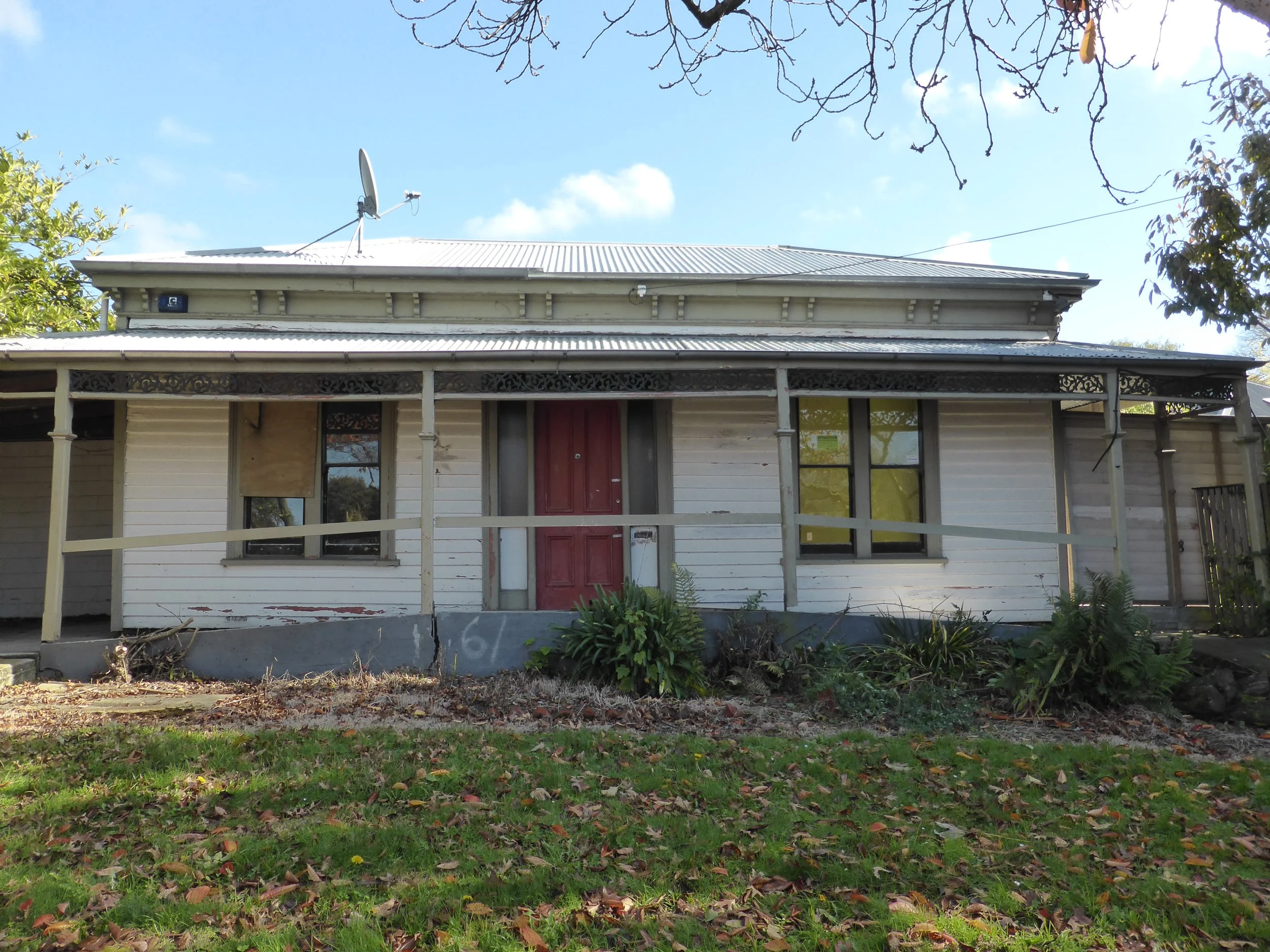
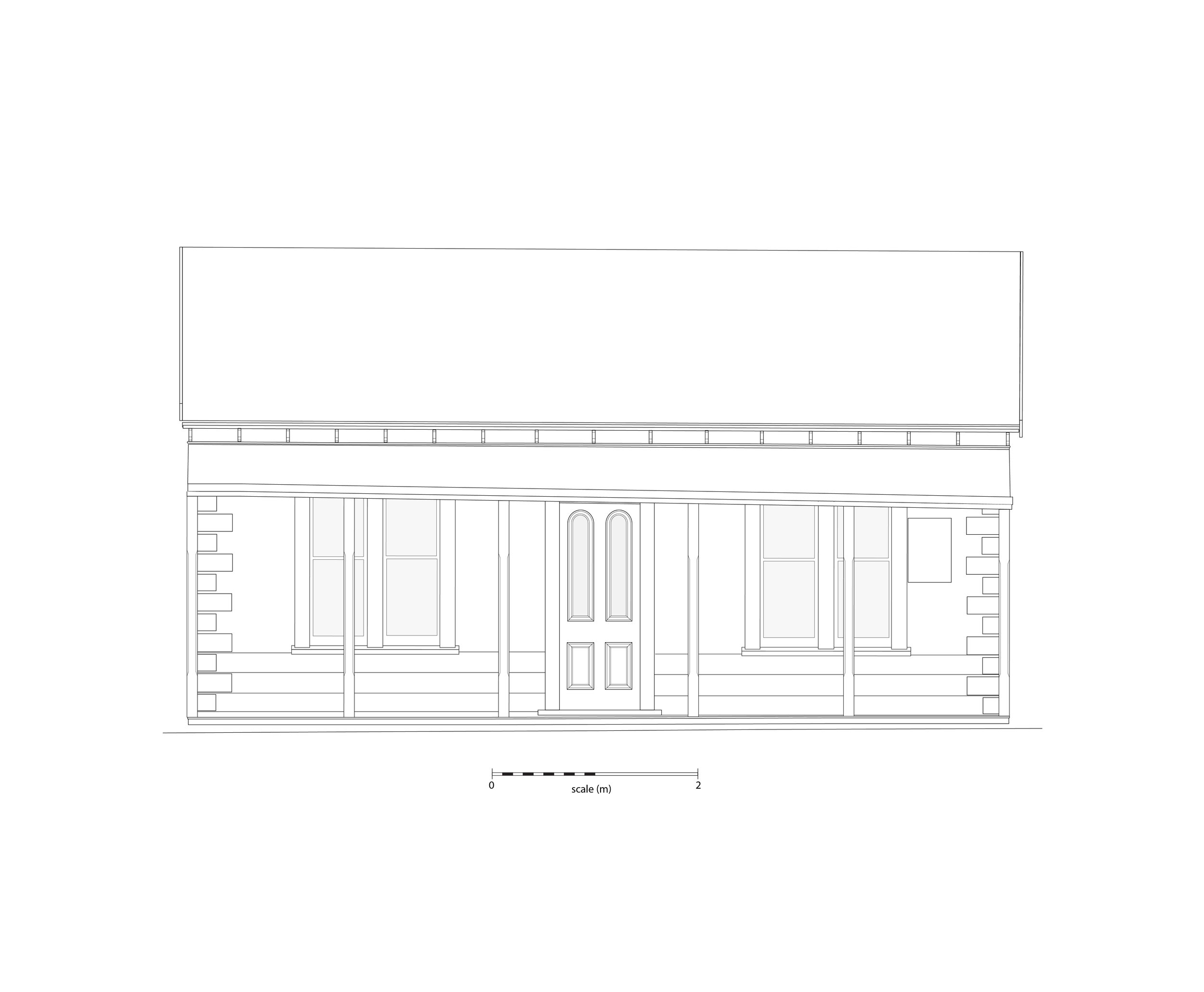
There are more than 50 archaeological sites recorded in the loop. Most of these sites were recorded during archaeological work after the Canterbury earthquakes of 2010 and 2011. They were recorded as a result of legislation that protects archaeological sites in Aotearoa New Zealand. The archaeological work included recording standing buildings that were going to be demolished.
In some cases very little archaeology was found during the work. But regardless of how much archaeology was found, a rich history was uncovered. This website skims the surface of what has been learnt - so much more has been left out.
The focus of this website is the 19th century, and the area covered lies between Barbadoes and Kilmore streets and the Ōtākaro Avon River.
An important point to note when reading the stories. The addresses used are the addresses at the time of the earthquake, but these properties had different street numbers (and often different street names) in the 19th century. You read more about how Christchurch’s street addresses have changed here.
Not only does the loop have a rich 19th century history, it has an important mid-late 20th and early 21st century history, and continues to be the centre of a strong community, although much has changed. To learn about the loop’s 20th century history, listen to this wonderful documentary. For information about the loop in the 21st century, Fiona Farrell’s The Villa at the Edge of the Empire is an excellent read. More sources are listed below. The image credits are also listed below.
This website has been developed by Christchurch Archaeology Project, with support from Christchurch City Council through the Place Partnership Fund. The Avon Loop Planning Association provided suggestions about what to include in the website, and Ruth Gardner and Stephen Symonds generously supplied the material for the story about George and Jane Goodwin. And thanks to Erica Borthwick for her research assistance.
Sources
Carlyon, J., 1998. Friendly societies 1842-1938: the benefits of membership. New Zealand Journal of History 32(2): 121-142.
Farrell, Fiona, 2015. The Villa at the Edge of the Empire: One Hundred Ways to Read a City. Vintage, Auckland.
Kā Huru Manu. Available at: https://kahurumanu.co.nz/
Lamb, Robert C., 1981. From the Banks of the Avon: The Story of a River. A. W> and A. H. Reed, Wellington.
Morris, Matt, 2006. A history of Christchurch home gardening from colonisation to the Queen's visit: gardening culture in a particular society and environment. PhD thesis, History, University of Canterbury.
Nicholas, Juliet and Farrell, Fiona, n.d. We Lived Here: Six Stories from the Avon Loop. CEISMIC, University of Canterbury, Christchurch. https://quakestudies.canterbury.ac.nz/store/object/308879
Tau, Te Maire, Rice-Edwards, Aaron, Tikao, Debbie, England, Jane, Parata-Goodall, Puamiria and Stevens, Michael J., 2016. Grand Narratives. Canterbury Earthquake Recovery Authority, Christchurch.
Watson, K., 2022. 101 demolitions: how a disaster shed light on life in 19th Christchurch. PhD thesis, History, University of Canterbury.
Images
A 7649, Canterbury. Landonline.
Austral bracken (Pteridium esculentum), 2019. Available at: https://www.inaturalist.org/observations/19773156
Avon River along New Brighton Road, Christchurch, New Zealand, 2019. By Michal Klajban - Own work, CC BY-SA 4.0, https://commons.wikimedia.org/w/index.php?curid=81310396
Avonloop house September 1980. Christchurch City Council Archives, CCC/ARC/25-104.
Avonside, Christchurch. Whites Aviation Ltd: Photographs. Ref: WA-49731-F. Alexander Turnbull Library, Wellington, New Zealand. /records/23067283 https://natlib.govt.nz/records/23067283
Avonside with Wards Malthouse and Brewery at the left, Christchurch, c.1863. W. T. L. Travers. Christchurch City Libraries. https://christchurch.bibliocommons.com/v2/record/S37C1667767
Baptist Church and Sunday School, Christchurch. Record ID: 35-R0296. Radcliffe Collection, Auckland Libraries Heritage Collection.
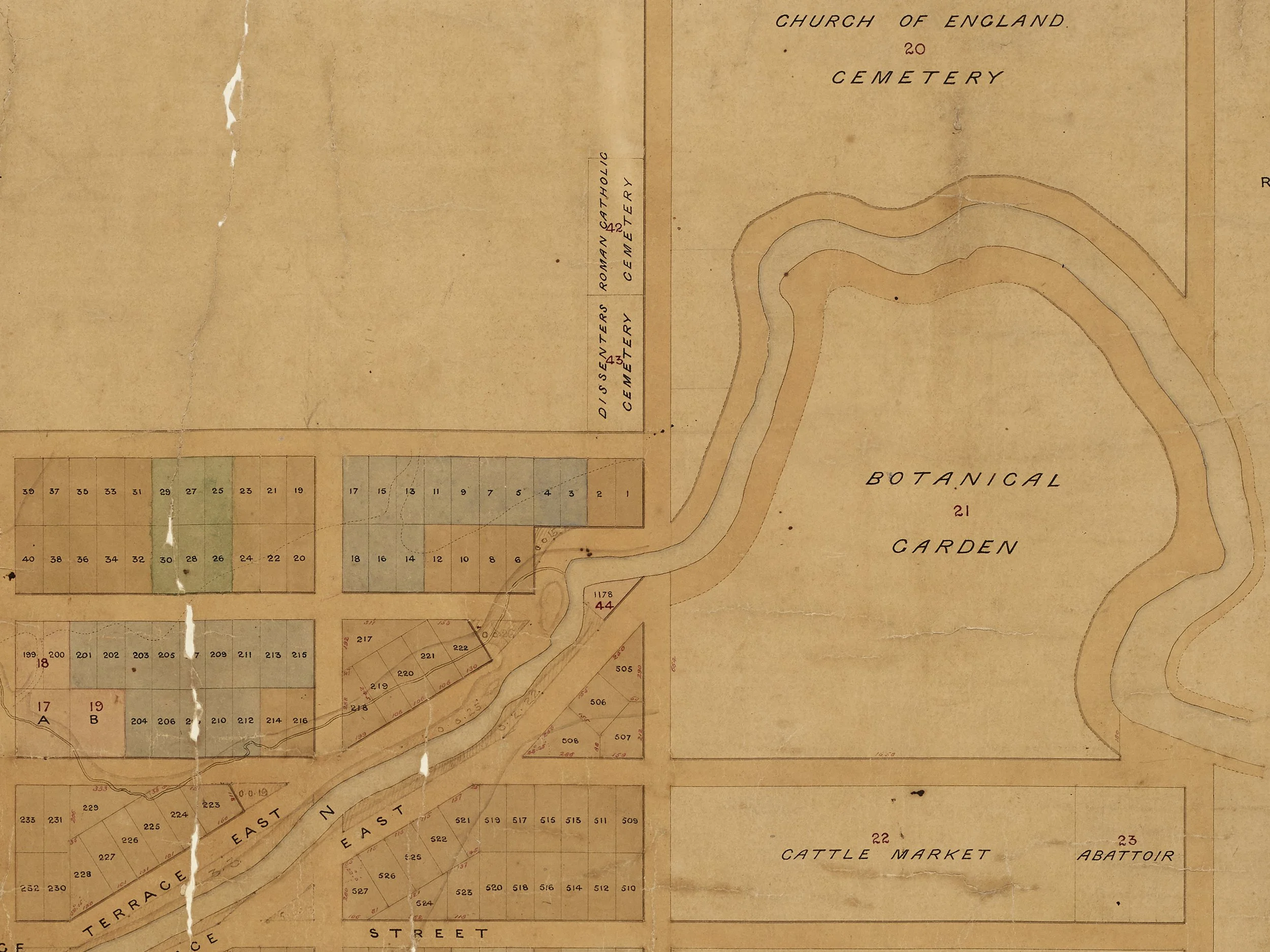
Black Map 273, Christchurch. https://commons.wikimedia.org/wiki/File:Black_Map_Christchurch_1850.jpg
Black Map 274, Christchurch, c.1860. Archives reference CH1031/BM 274, R22668199. Archives New Zealand/Te Rua Mahara o te Kāwanatanga Christchurch Regional Office.
Black Map 277, Christchurch, c.1860. Archives reference CH1031/BM 274, R22668203. Archives New Zealand/Te Rua Mahara o te Kāwanatanga Christchurch Regional Office.
Canterbury Rowing Club. Wheeler and Son, c.1885-1910. Accession No 2008/9/7. Auckland Art Gallery Toi o Tāmaki.
Father and son, 1932. Record ID: AWNS-19320420-49-05. Auckland Weekly News Collection, Auckland Libraries Heritage Collection.
Fooks, C. E., 1862. Christchurch, Canterbury, New Zealand, 1862 [map].
Galaxias argenteus 254943046, 2023. By Christopher Stephens - https://www.inaturalist.org/photos/254943046, CC BY-SA 4.0, https://commons.wikimedia.org/w/index.php?curid=139422931
George James and Mary Ann Whitehead outside their house, Kilmore Street, Christchurch. Whitehead, Henry Norford, 1870-1965 :Negatives of Napier, Hastings and district. Ref: 1/1-022247-G. Alexander Turnbull Library, Wellington, New Zealand. https://natlib.govt.nz/records/29948500
New Zealand scaup, The Groynes, Christchurch, New Zealand, 2019. By Michal Klajban - Own work, CC BY-SA 4.0, https://commons.wikimedia.org/w/index.php?curid=78883143
Short-finned eel (Anguilla australis), 2022. By Joss Simpson - ttps://www.inaturalist.org/photos/248909914, CC BY 4.0, https://commons.wikimedia.org/w/index.php?curid=127038841
Paradise shelduck, 2022. By JJ Harrison - Own work, CC BY-SA 3.0, https://commons.wikimedia.org/w/index.php?curid=125899987
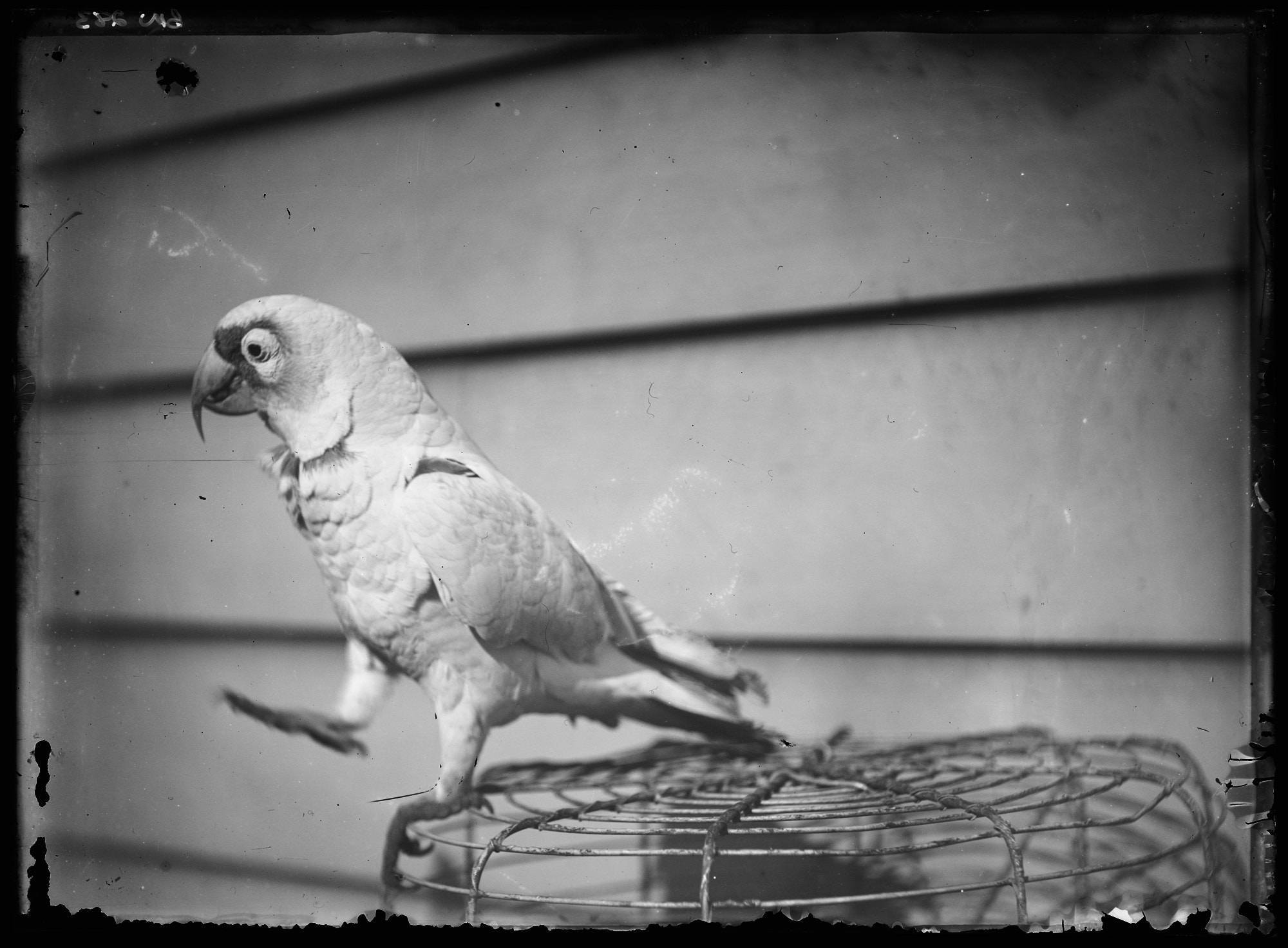
Parrot owned by Polly Bradney, c.1900. Record ID: 80-BIN283. Binns Collection, Auckland Libraries Heritage Collection.
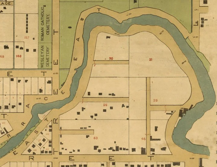
Strouts, F., 1877. “Christchurch, Canterbury / compiled from data supplied to City Council and District Drainage Board ; T.S. Lambert, delt,” Alexander Turnbull Library, MapColl 834.4492a 1877 3158.
Archaeology images
Erica Borthwick, Jessie Garland, Matt Hennessey, Gwen Jackson, Maria Lillo Bernabeu, Peter Mitchell, Luke Tremlett, Clara Watson, Kirsa Webb.
defined by the river


The Avon Loop snuggles neatly into a loop in the Ōtākaro Avon River, once an awa through the wetlands for Waitaha, Ngāti Marmoe and Ngāi Tahu, and an important mahinga kai.

its own little corner of the city
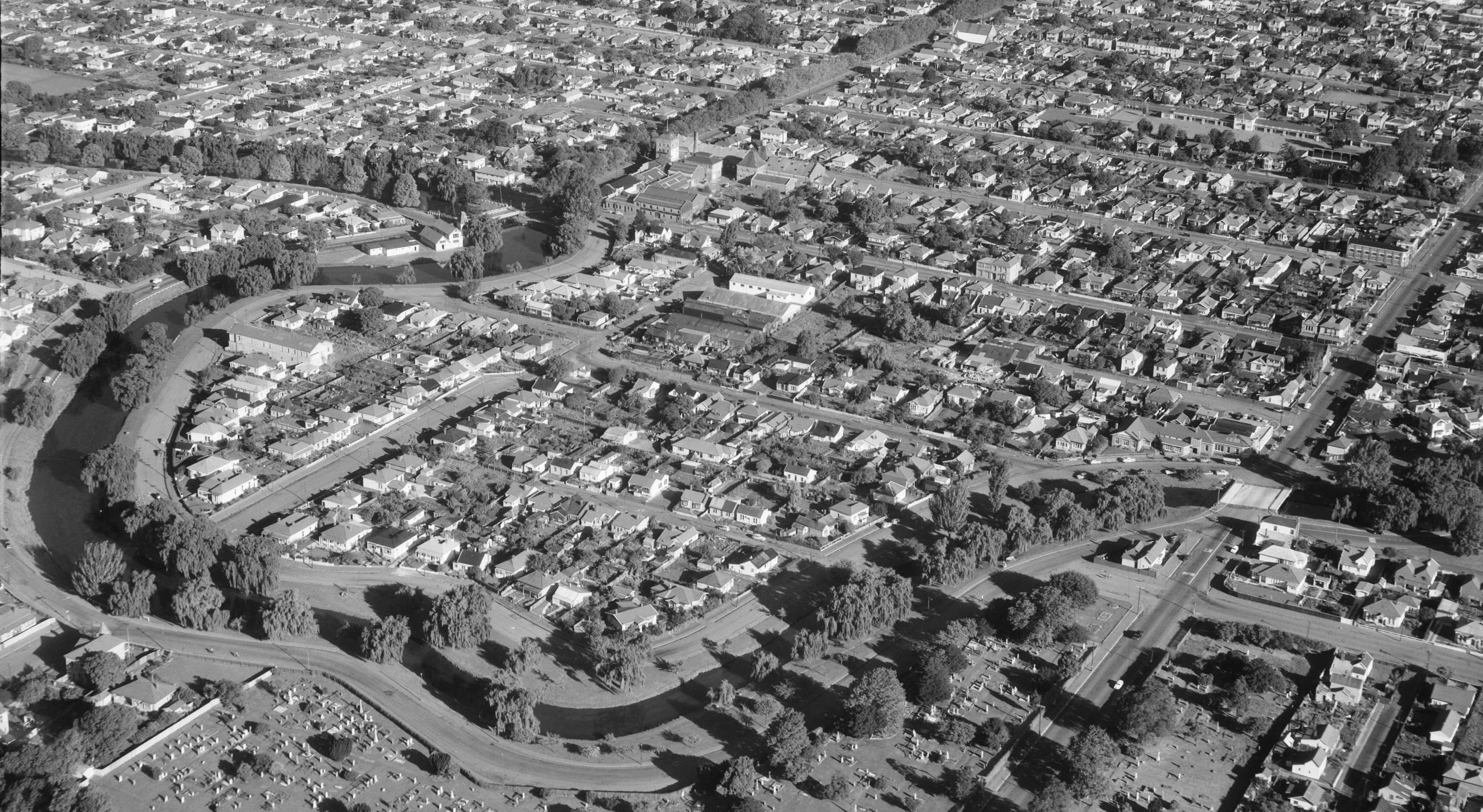

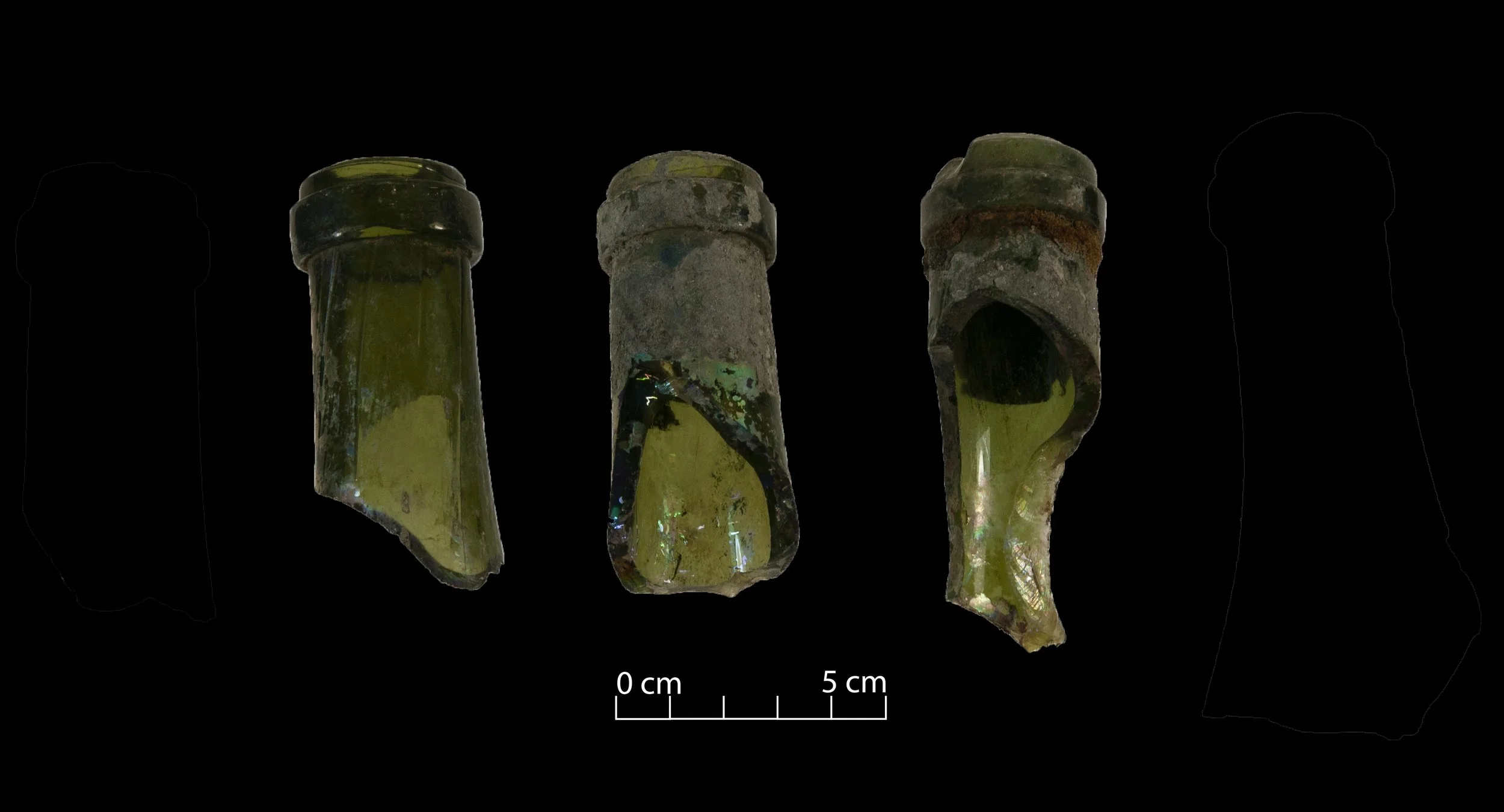
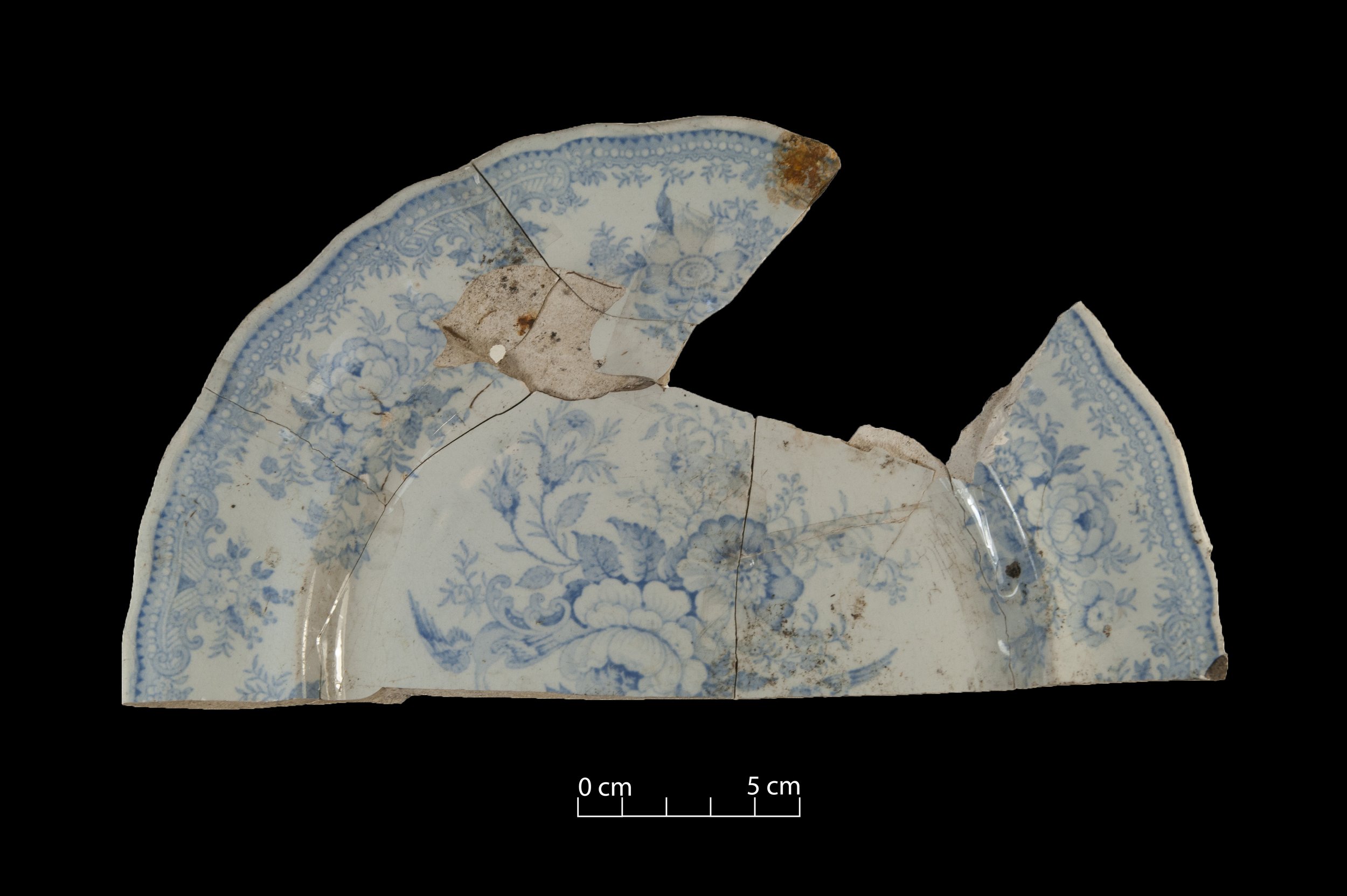
Cut off from the city by Barbadoes and Kilmore streets, the loop became home to people from all over the world.
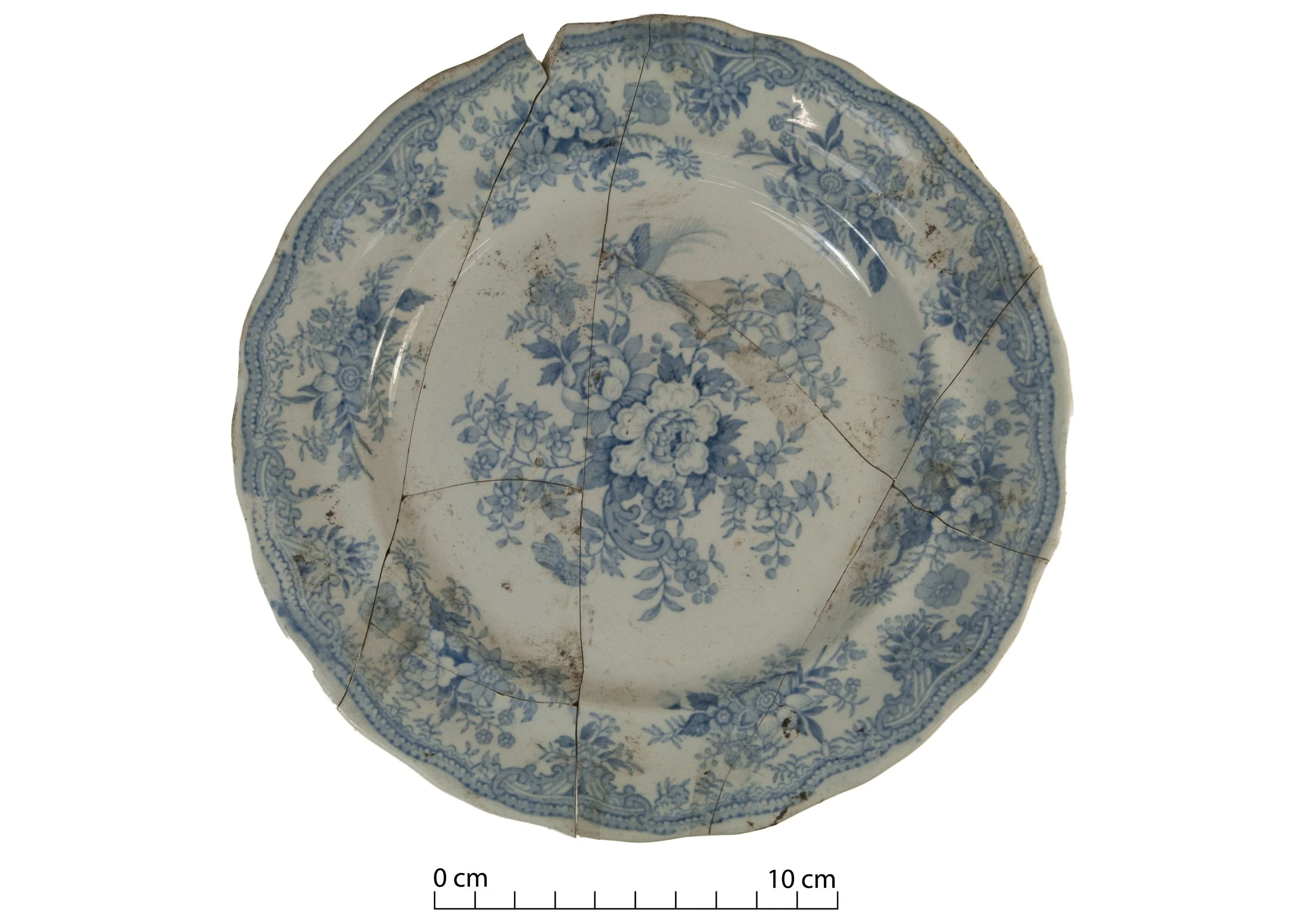
The men and women of the loop built houses there, started businesses, raised families. Mostly they lived quiet lives, never thinking that one day archaeologists would investigate their houses and their rubbish. Nor that their stories would become the subject of an exhibition.